Coming off the Passaic Avenue bridge from Passaic.
Approaching the Erie trestle northbound on Passaic Avenue.
| Mile | Street Name | Feature (South to North) |
| 0.00 | ||
| 0.00 | Passaic St | Passaic River {bridge} |
|
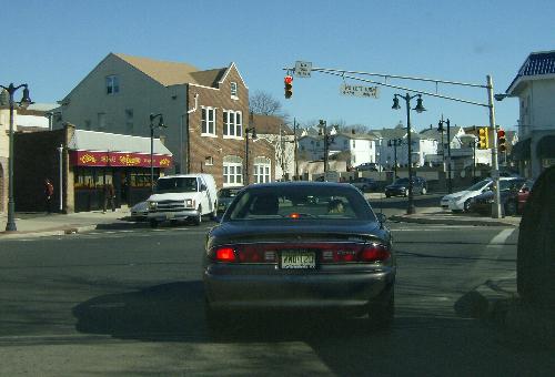
Coming off the Passaic Avenue bridge from Passaic. |
||
| 0.02 | Passaic St | River Dr |
| 0.20 | Passaic St | Palisade Ave {signal} |
|
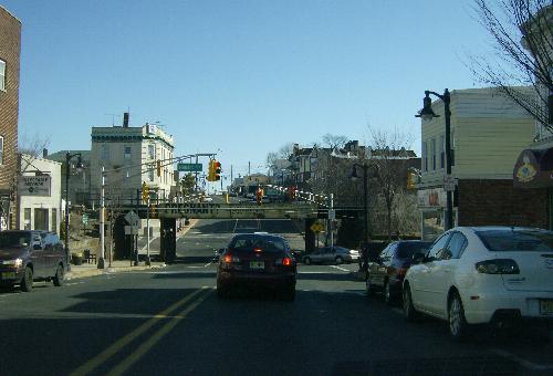
Approaching the Erie trestle northbound on Passaic Avenue. |
||
| 0.26 | Passaic St | Midland Ave |
| 0.26 | Next 0.02 mile co-signed with |
|
| 0.27 | Passaic St | Erie Railroad {underpass} |
| 0.28 | Passaic St | Midland Ave |
| 0.37 | Passaic St | Marsellus Pl {signal} |
| 0.87 | Entering Lodi Boro | |
| 0.96 | Passaic St | (Bryant Ave) [Terrace Ave] {signal} |
| 1.24 | Passaic St | 1 St {signal} |
| 1.27 | Passaic St | Saddle River {bridge} |
| 1.30 | Passaic St | Hunter St |
| 1.30 | ||