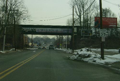
Northbound (eastbound?) at the Lackawanna tracks.
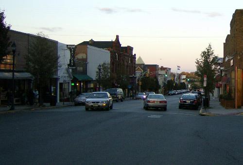
Park Avenue northbound, from Ridge Road intersection a block west of Franklin Place.
The road, previously labeled as CR 30, was correctly inventoried from west to east. However, locals commonly refer to it as a north-south road and it serves as the dividing line between east and west in Rutherford. As a result, the county reassigned an odd number, 45, to the road so that it would be considered as running north and south.
| Mile | Street Name | Feature (South to North) |
| 0.00 | ||
| 0.00 | Park Ave | Riverside Ave |
Northbound (eastbound?) at the Lackawanna tracks. |
||
| 0.39 | Park Ave | Lackawanna Railroad {underpass} |
| 0.66 | Entering Rutherford Boro | |
| 0.66 | Park Ave | Rutherford Ave |
| 0.70 | Park Ave | |
| 1.09 | Park Ave | Pierrepont Ave {signal} |
|
Park Avenue northbound, from Ridge Road intersection a block west of Franklin Place. | ||
| 1.66 | Park Ave | Spring Dell {signal} |
| 1.68 | Park Ave | Franklin Pl {signal} |
| 1.85 | Park Ave | Erie Ave |
| 1.85 | ||