The original designation started along Harriot Avenue from Lafayette Road in Harrington Park, but that section has been given a new number, CR 54. The road now starts from Old Hook Road along the former CR S-104 and continues in a more northerly direction through River Vale. Eventually, it crosses the state line into the Middletown section of Orangetown. The road is inventoried south to north.
| Mile | Street Name | Feature (South to North) |
| 0.00 | ||
| 0.00 | Bogerts Mill Rd | Old Hook Rd |
 Bogerts Mill Road crosses a piece of the Oradell Reservoir. | ||
| 0.09 | Bogerts Mill Rd | Oradell Reservoir {bridge} |
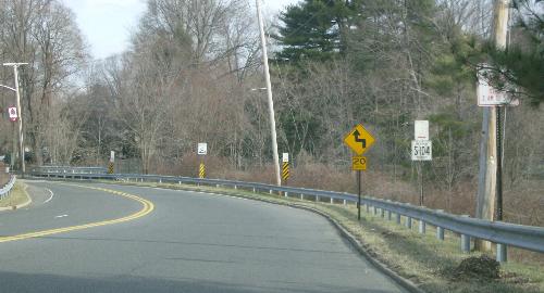
| 0.42 | Bogerts Mill Rd | Harriot Ave [ |
| 0.42 | CR 53 turns left onto Harriot Ave | |
| 0.78 | Entering River Vale Twp | |
| 0.94 | River Vale Rd | Unnamed stream {pipe} |
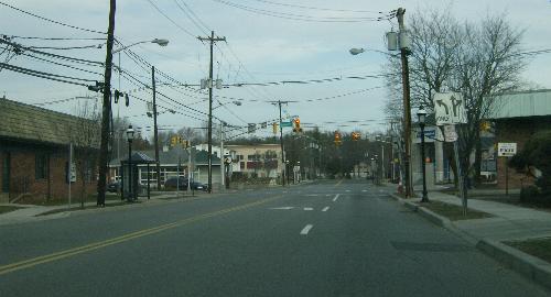 River Vale Road approaching Westwood Avenue. | ||
| 1.52 | River Vale Rd | Westwood Ave |
| 2.20 | River Vale Rd | Oradell Reservoir {bridge} |
| 2.61 | River Vale Rd | (Piermont Ave |
| 2.61 | Next 0.22 mile co-signed with |
|
| 2.83 | River Vale Rd | [Old Tappan Rd |
| 2.85 | River Vale Rd | Unnamed stream {pipe} |
| 3.54 | River Vale Rd | (Prospect Ave |
| 4.08 | River Vale Rd | [Orangeburgh Rd |
| 4.78 | Entering Montvale Boro | |
| 4.90 | Middletown Rd | [Blue Hill Rd |
| 4.90 | Next 0.04 mile co-signed with |
|
| 4.94 | Middletown Rd | (Grand Ave |
| 5.05 | Middletown Rd | Unnamed stream {bridge} |
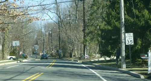 Middletown Road approaching the state line. | ||
| 5.28 | ||
| Entering Orangetown Town, Rockland Co. | ||