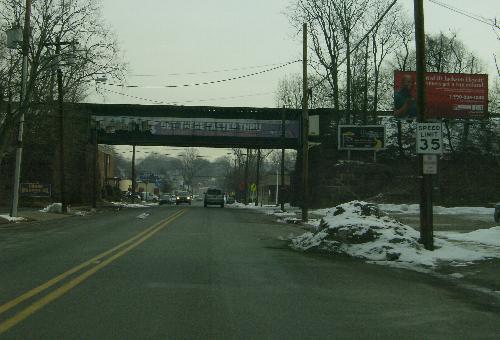
Eastbound (though the locals would call it northbound) at the Lackawanna tracks.
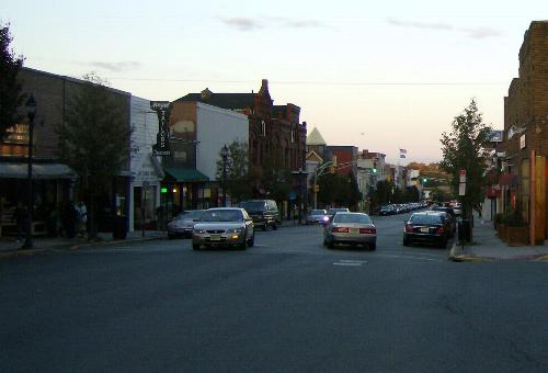
Park Avenue eastbound, from Ridge Road intersection a block west of Franklin Place.
The road is correctly inventoried from west to east, even though residents commonly refer to it as a north-south road and it serves as the dividing line between east and west in Rutherford.
| Mile | Street Name | Feature (West to East) |
| 0.00 | CR 30 BEGINS, Lyndhurst Twp | |
| 0.00 | Park Ave | Riverside Ave, CR 507 {signal} |
Eastbound (though the locals would call it northbound) at the Lackawanna tracks. |
||
| 0.39 | Park Ave | Lackawanna Railroad {underpass} |
| 0.66 | Entering Rutherford Boro | |
| 0.66 | Park Ave | Rutherford Ave, CR S-30 / Stuyvesant Ave {signal} |
| 0.70 | Park Ave | NJ 3 {overpass} |
| 1.09 | Park Ave | Pierrepont Ave {signal} |
|
Park Avenue eastbound, from Ridge Road intersection a block west of Franklin Place. | ||
| 1.66 | Park Ave | Spring Dell {signal} |
| 1.68 | Park Ave | Franklin Pl {signal} |
| 1.85 | Park Ave | Erie Ave, CR 32 {traffic circle} |
| 1.85 | CR 30 ENDS, Rutherford Boro | |
Until the early 1950s, there was a bridge crossing the Passaic River between Clifton and Rutherford at Rutherford Avenue. The bridge was torn down after the NJ S-3 (now NJ 3) bridge was opened 200 feet to the north.
Rutherford Avenue continues to the east as NJ 17.
| Mile | Street Name | Feature (West to East) |
| 0.00 | CR S-30 BEGINS, (Rutherford Boro) [Lyndhurst Twp] | |
| 0.00 | Rutherford Ave | Riverside Ave, CR 507 |
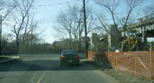 Westbound on Rutherford Avenue approaching Riverside Avenue. Note the concrete barricade straight ahead; this is where the old Rutherford Avenue bridge landed. The new (in 1949) NJ S-3 (now NJ 3) bridge, visible to the right, took its place. | ||
| 0.15 | Rutherford Ave | Park Ave, CR 30 / Stuyvesant Ave {signal} |
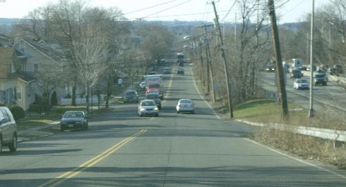 Westbound just below Ridge Road. NJ 3 is visible on the right. | ||
| 0.67 | Rutherford Ave | Ridge Rd, NJ 17 {signal} |
| 0.67 | CR S-30 ENDS, (Rutherford Boro) [Lyndhurst Twp] | |